
Creating a 3D terrain model based on GIS and Lidar scanning data. The script uses coordinates of the given area, level of data accuracy and model complexity to build a 3D topography model and set of isocurves.
Inputs
_region coordinates
_data accuracy
_model complexity
Outputs
_grid of 3d points [.csv]
_topography model [.3dm]
_original and smoothed isocurves [.3dm, .dwg]
Algorithm
- choose area’s coordinates [e. g . in PUWG 1992 or CH1903/LV03]
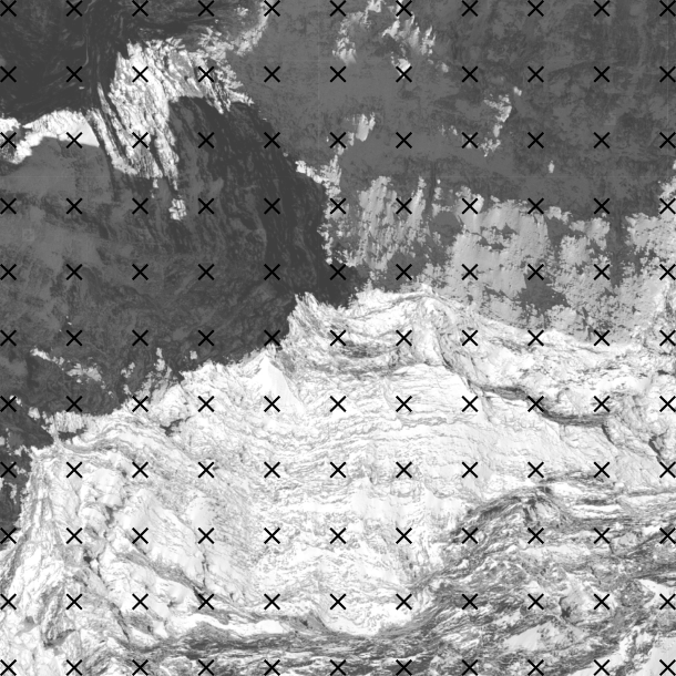
- create a grid of points between area’s coordinates [for given grid size, e. g. 1m x 1m]
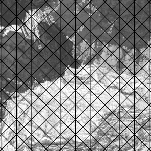
- build mesh based on points and smooth [with maximum acceptable displacement per point]
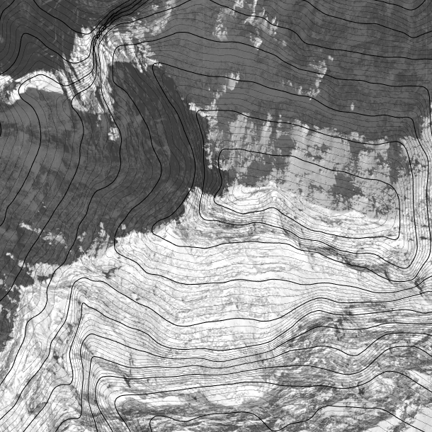
- draw isocurves [in chosen density, e. g. 0.1m]
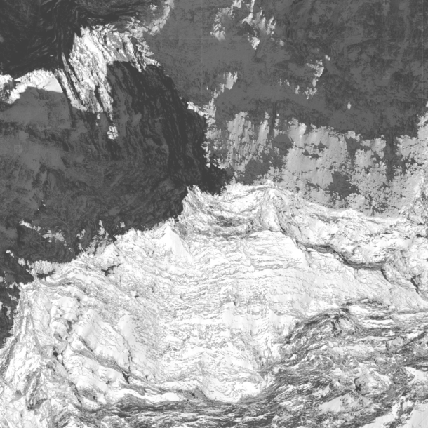
[GIS data source – the federal geoportal]